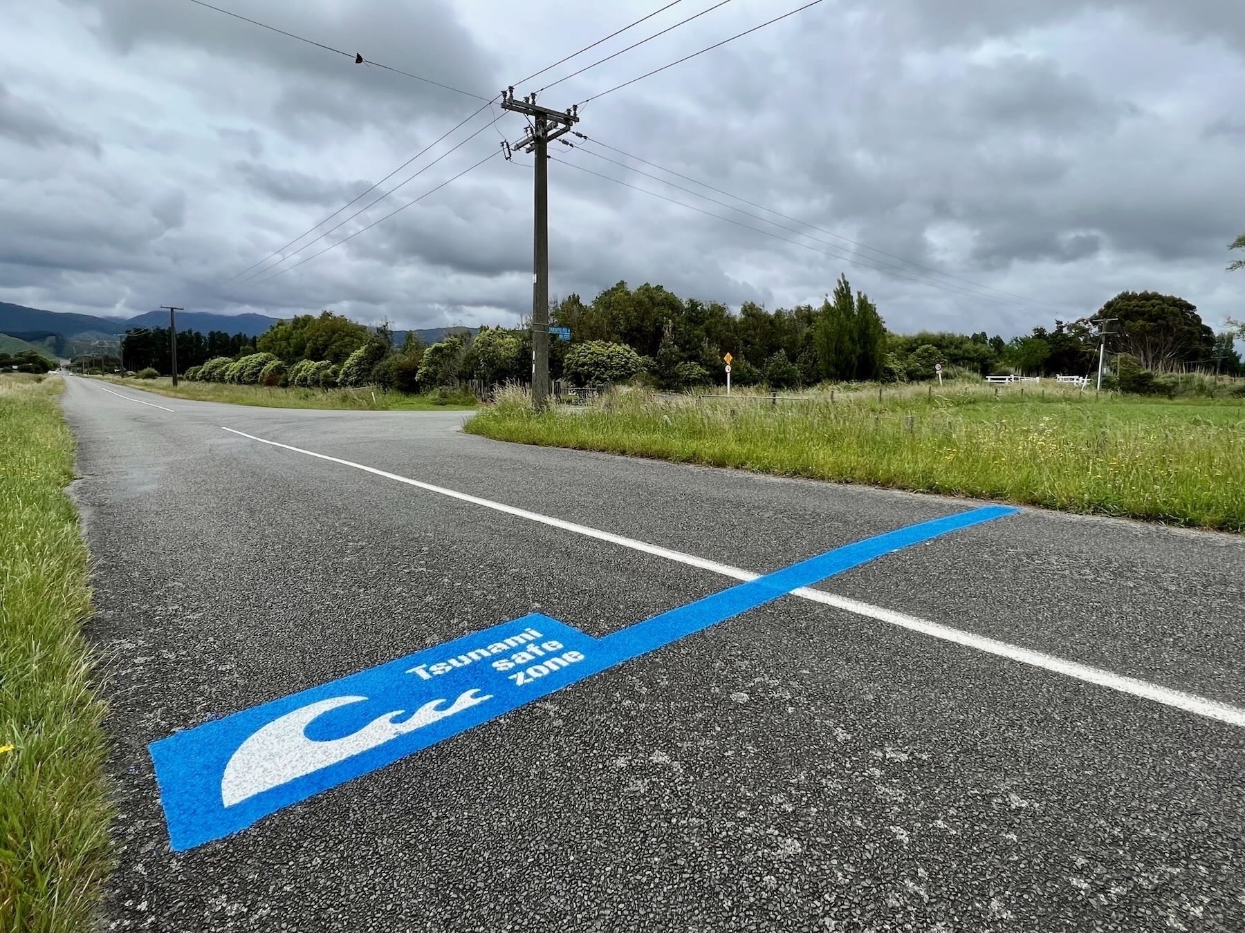
New Tsunami Safe Zone Marking

A new Tsunami Safe Zone road marking, a blue line, has been painted near the intersection of Waikawa Beach Road with Takapu Road. This is about 1 Km closer to SH1 than the previous line that was painted back in August 2017.
The new line looks a lot fresher and a bit snazzier, but I was wondering why it had been moved so I asked the Horowhenua District Council.
Today I received a response from Ross Brannigan, Emergency Management Advisor | Āpiha Whakahaere Ohotata:
The short answer is that the previous one was actually put in at the wrong location, still well outside of the inundation area but not consistent with the original modelling for evacuations which for obvious reasons include quite a lot of ‘buffer’ in terms of distance between the largest inundation extent we could expect to where we would want residents and public to get to for their safety etc.
Another consideration of course is room for people to gather without causing roadblocks etc to responders needing to get in to the village or location.
The new line is in the correct location and consistent with our evacuation modelling.
I thought the point about room for people to gather without obstructing emergency workers was a good one.